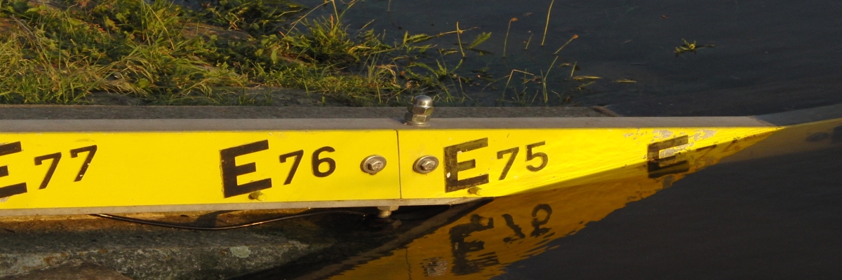
Water gauge portal


On the website pegelportal.brandenburg.de, the hydrological situation in the state of Brandenburg is mapped by publishing current data on water level and flow. Flood warnings and information from the flood warning centre of the State Office for the Environment are published here.
The start page contains an overview map showing the major river catchment areas of Brandenburg and the flood alarm gauges. It can be seen at a glance whether flood reports are available for river catchment areas and at which gauges alarm levels have been exceeded.
- Overview of current flood warnings in Brandenburg
The app is also suitable for mobile devices.

